digital twin
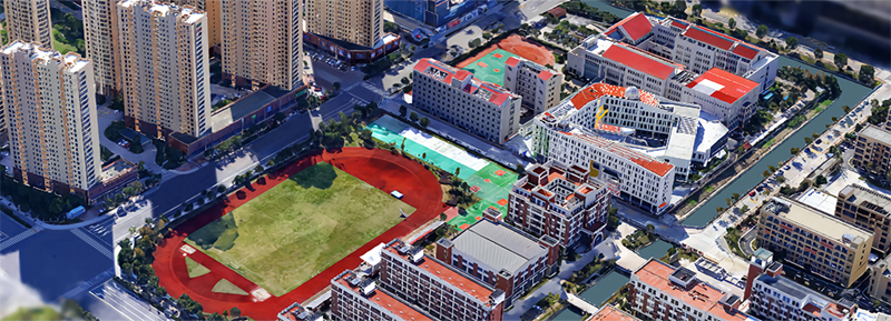
3D Real Scene
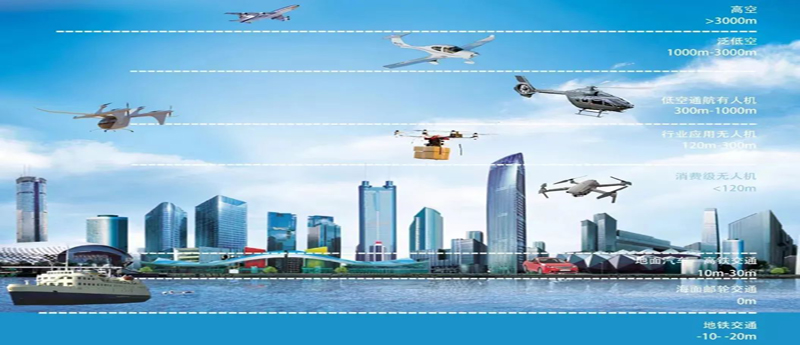
low-altitude economy
Modelling the changing world has been the challenge of the geospatial society for years. ISPRS initiated the workshop series on ‘Dynamic and Multi-dimensional Geographic Information System (DMGIS)’ in 1997 and 8 workshops with this name have been organized in different places of the world since then.
The advent of ICT (Information, Communication, and Technology) has opened a new era, which greatly increases the demand for capturing, integration, and analysis complex spatial and temporal data in multiple dimensions for various applications, ranging from urban planning and environmental monitoring to disaster response and smart city development. Furthermore, as the world becomes increasingly interconnected and data-driven, we need sophisticated models that can represent and simulate the dynamic interactions between physical, social, and economic systems over time and across different geographical scales, so to predict the behavior of systems within a multidimensional spatial-temporal framework becomes crucial for decision-making, resource allocation, and risk management. Some countries have already initiated National 3D Mapping programs, and the demand for related methodologies and technologies has become more urgent.
To enhance the study of dynamic and multi-dimensional modelling of the real world, we organize the 9th International Workshop on Dynamic and Multi-dimensional Geospatial Information Simulation (9th DMGIS), to bring together researchers, practitioners, industry experts, and thought leaders from around the globe to discuss, share, and explore the latest developments and innovations in the fields.
The event is organized by ISPRS Technical Commission IV (Spatial Information Science), hosted by Beijing University of Civil Engineering and Architecture. It is also supported by FIG Commission 3 (Spatial Information Management), Moganshan Geospatial Information Laboratory, Commission on Intelligent Mapping of the CSGPC, Commission on Global Services of GLAC, etc.